Land & Ownership Insights
Building a Complete Picture of Land Ownership in South Africa
We're creating a dynamic, data-rich map of South Africa's land parcels—fully linked to AgriSA members, property rights, and agricultural activity. This module helps identify where data is missing and where progress is being made, giving policy-makers and stakeholders the tools to act.
Core Features
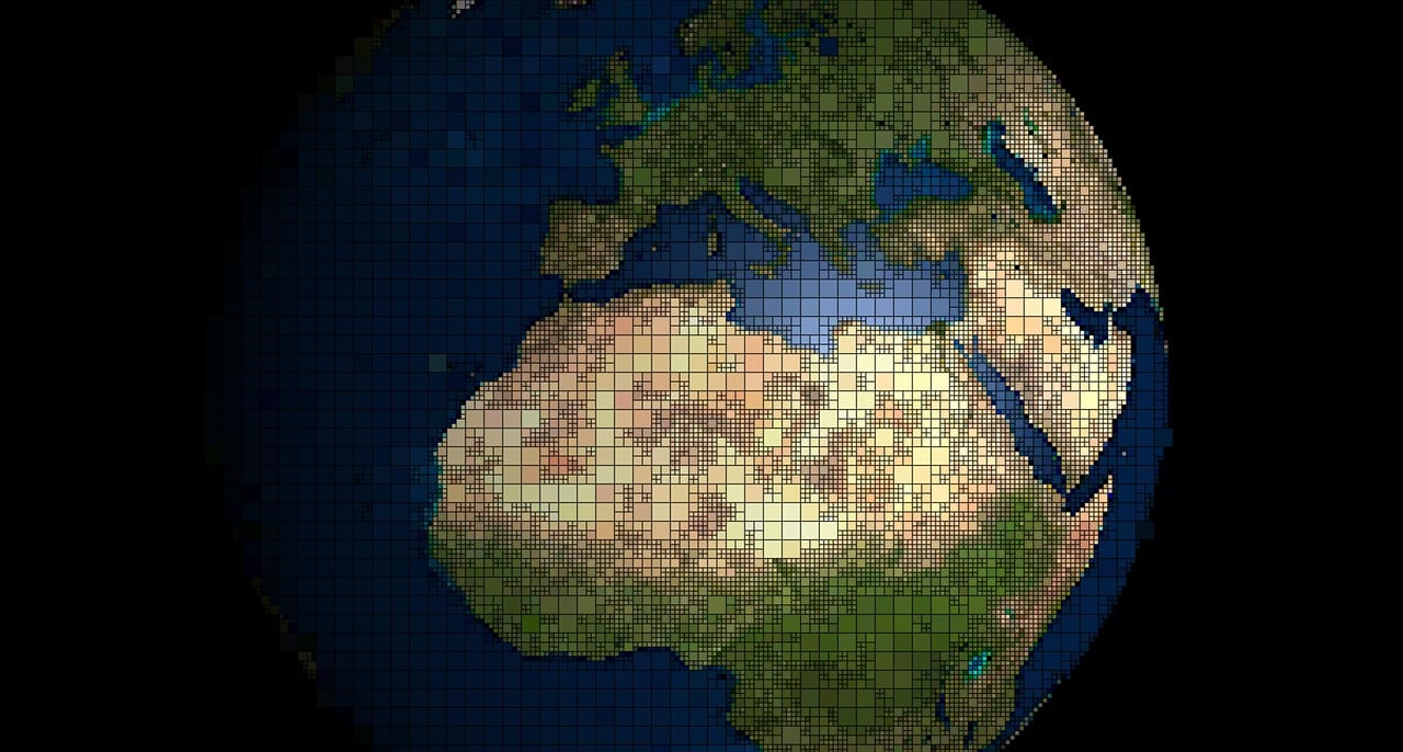
Land Data Coverage Heatmap
Interactive mapping tools with advanced modeling capabilities for comprehensive land insights.
- •Predictive modeling for land value trends and agricultural productivity
- •Machine learning algorithms to identify patterns in land use and ownership
- •Scenario planning tools for policy impact assessment
- •Integration with climate and economic data for holistic analysis
These capabilities enable stakeholders to make data-driven decisions about land management and agricultural development.
Land Distribution Overview
Comprehensive analytics on land ownership patterns across South Africa.
Leverage our Geographic Information System to analyze land ownership segments, valuations and more
- •Ownership Pattern Analysis - Visualize distribution across different ownership types
- •Historical Trend Mapping - Track changes in ownership over time
- •Regional Comparisons - Compare ownership patterns across provinces
- •Advanced GIS Analysis: Spatial mapping and property valuation tools
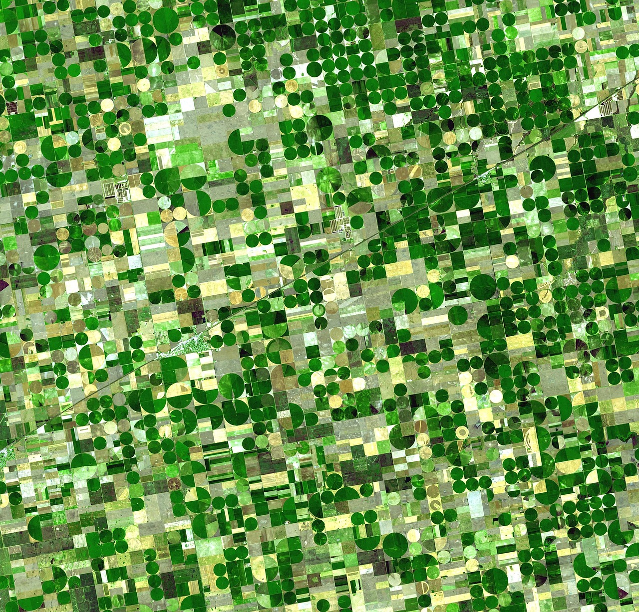
GIS Satellite Imagery of Agricultural Land Distribution
Ideal for national-level land summary reporting and strategic planning.
Agricultural Land Snapshot
Advanced agricultural risk and opportunity assessment tools.
- •Soil Quality Analysis - Assess agricultural potential based on soil characteristics
- •Climate Risk Modeling - Identify areas vulnerable to drought, flooding, and other climate impacts
- •Crop Suitability Mapping - Determine optimal crops for different regions
- •Investment Opportunity Identification - Highlight areas with high agricultural potential

Agricultural Risk & Opportunity Analysis
Supports agribusiness strategy, research, and agricultural policy development.
Land Tenure Insights
Advanced GIS capabilities for comprehensive land analysis and planning.
- •Multi-layer Spatial Analysis - Combine multiple data layers for complex insights
- •3D Terrain Modeling - Visualize topography and land features
- •Satellite Imagery Integration - Access current and historical imagery
- •Custom Boundary Definition - Create and analyze custom geographic areas
Additional capabilities:
- •Proximity and buffer analysis for planning
- •Integration with external GIS datasets
- •Customizable reporting and visualization tools
Powerful tools for land use planning, resource management, and strategic decision-making.
Exports & Reporting
Export Dashboards as PDF
Generate clean, branded PDF reports in a single click.
- •Export maps, charts, and metrics
- •Print-friendly, structured layout
- •Immediate download with organizational branding
Export Raw Data (CSV)
Download raw data for custom offline analysis.
- •Export from tables or graphs
- •Includes all visible data plus metadata
- •Clean, Excel-compatible formatting
- •Automatic download after confirmation
Primary Users
AgriSA National Office
Comprehensive national view for policy and advocacy
Provincial Land Policy Managers
Regional insights for targeted interventions
Analysts and Researchers
Data-driven insights for academic and policy research
Member Associations and Affiliates
Practical tools for member support and engagement
Ready to Explore Land Ownership Data?
Join the AgricultureSA.io platform to access the Land Insights Module and make informed decisions about South African agricultural land.